
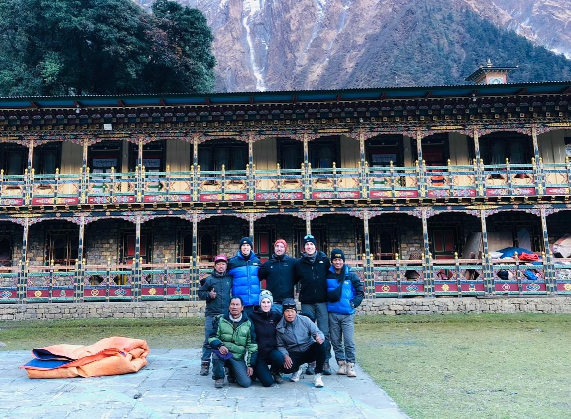
Recently, our guides from the Nepal High Trek formally measured the actual Samagaun to Manaslu Base Camp Distance. There are countless data in an internet about the trek distance between this famous village and the foothill of the world’s 8th tallest mountain, Mount Manaslu. More than 6 guides took part in this survey. We sent Suman Rai, Indako Tamang, Pawan Tamang, Surya Lama Waiba, Nabin Tamang, and Suraj Tamang. During their regular Manaslu Trek, they measured the distance and we averaged it here in the office. The data shows that the Samagaun to Manaslu Base Camp Distance is 6.5 kilometers (One – Way). Today’s blog focuses on not only the distance in numbers but also different factors related to this.
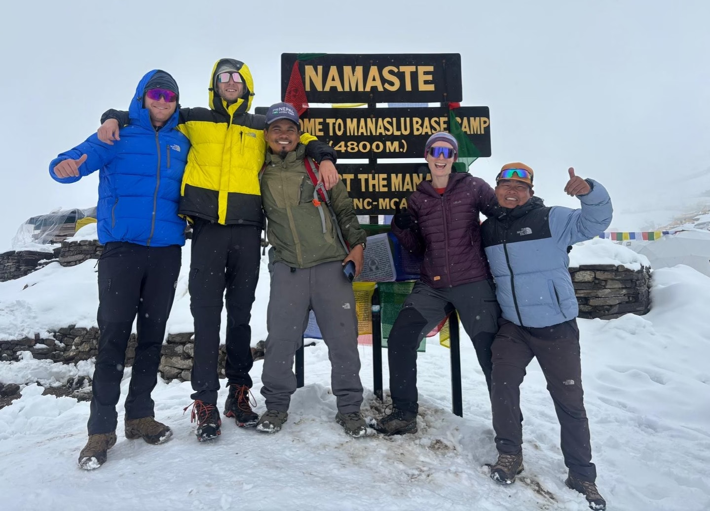
It’s a brutally difficult walk. Honestly, anyone telling you this is a casual stroll is straight-up lying, because staring at the mountain from your teahouse window totally messes with your depth perception. You think it’s close. It isn't. The actual distance stretches your legs and your patience in ways you probably aren't expecting, especially when the thin air starts turning your blood into sludge. Here's the catch though. Nepal High Trek actively pushes you to do this exact hike, completely knowing it’s going to wreck you for a few hours. Why? Full vertical uphill trail from Birendra Lake all the way to Manaslu Base Camp (4800 m) is challenging! Additionally, the trail is also rugged. Sometimes, the trail may be covered in thick snow!
Manaslu Circuit Trek
View detailsHow Many Kilometers Is the Samagaun to Manaslu Base Camp Distance?
Numbers mean nothing. Look, if you strictly want the math, you are looking at roughly thirteen kilometers round-trip, assuming you don't get horribly lost trying to follow the yak tracks instead of the actual trail. Seems totally manageable, right? Don't be fooled. Walking a handful of kilometers back home takes an hour or two, but up here in this oxygen-starved washing machine of dust and freezing wind, those same digits translate into an agonizing all-day affair.
The guides at Nepal High Trek constantly watch people obsess over their GPS watches. Just put the stupid watch away. The distance largely depends upon the trail that you have taken. Sometimes, you may have to take another route due to trail conditions or to go another ridge for better view. This may change the distance.
One-Way Distance vs. Round-Trip Distance Explained
Let’s clear this up. You’ll hear folks casually tossing around "six and a half kilometers" over breakfast, making the whole expedition sound delightfully brief before they start lacing up their boots. That's only half the story. Literally. They are quoting the one-way uphill grind, completely ignoring the absolute fact that you still have to drag your shivering, exhausted body all the way back down to your bed. Going down hurts differently. Your knees will violently protest every steep drop-off. Nepal High Trek hates it when trekkers only calculate the distance up. Always double the number in your head, otherwise you'll be mentally broken when you realize you still have a massive hike home. Manaslu region is the perfcet to discover the hidden gems of culture nature and combine the Tsum valley, Ganesh Himal Base Camp, Larkya La Pass, Manaslu Base Camp, Pungyan monastery, Tibet Border, Larkya La Pass and many more attractive activities.
Why Different Sources Give Different Distances?
The internet lies. Honestly, if you read five different blogs before flying out here, you probably found five wildly conflicting measurements for this exact dirt path. It’s infuriating. Here’s why the math never actually matches up in reality. Nobody has done actual trek distance measurement but the Nepal High Trek has done it! It is recent and updated. Many travel blogs published in different websites are copy – paste contents. We have local connections and treks are operated by local guides and crew members. Therefore, our data is correct! While giving out instructions to our clients, we give actual numbers. For example, the Manaslu Circuit Trek is 177 kilometers long in an average. Expect +5 or -5 in this trek distance. Trust the mountain, not the internet.
Tsum Valley Manaslu Circuit Trek
View detailsSamagaun to Manaslu Base Camp Walking Time
Forget your watch. Seriously, attempting to time this hike like a gym workout is a spectacular way to ruin your entire morning. Most normal humans take roughly four to five grueling hours just to crawl up to the yellow tents, followed by a knee-shattering three hours to stumble back down. Let your trekking guide pace you. Burning yourself out today guarantees a massive, throbbing headache tomorrow.
Elevation Gain From Samagaun to Manaslu Base Camp
This is the real monster. The raw distance is completely irrelevant once you realize you are basically climbing a massive, jagged staircase into the sky, gaining around 1,270 vertical meters in a single push. It’s aggressively steep. You start down at 3,530 meters, breathing relatively fine, only to violently drag your complaining lungs all the way up to 4,800 meters where the expedition teams are freezing in their sleeping bags. That is a massive chunk of vertical space. Now, Nepal High Trek considers this the ultimate test for your body. If you can handle this ridiculous elevation spike without throwing up, crossing the Larkya La pass is going to be a total breeze.
.avif)
What Makes the Distance Feel Longer Than the Kilometer Count?
Your brain gets confused. You look up, clearly seeing the tiny yellow dots of the base camp tents clinging to the glacier, and you automatically assume you’ll be there in twenty minutes. Wrong. Human perception is so different. If you observe map, then you may think it is very short. Similarly, the 6.5 kilometers the Samagaun to Manaslu Base Camp Distance seems near but it is not! The geographical terrain makes it hard for trekkers and it feels long. Nepal High Trek warns people about this mental trap daily. The lack of air, combined with zero trees for visual reference, makes those mere kilometers stretch into an eternity.
The Route From Samagaun Through Birendra Lake
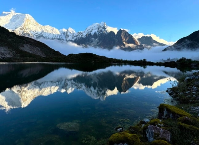
It starts deceptively easy. You literally just wander out of the village, dodging cow dung and stone walls, casually strolling across a massive, flat glacial valley that feels wonderfully relaxed. Then you hit the lake. Honestly, Birendra Lake is obnoxiously beautiful, acting like this giant icy mirror reflecting the jagged peaks, and it tricks you into thinking the whole day will be this pleasant. It won't. Enjoy this flat section while it lasts, because right after you snap your photos, the path aggressively violently tilts upward into the sky. Our Nepal High Trek guides usually let you rest here. Soak it in. The brutal vertical suffering officially begins right after the water.
Manaslu Circuit Trek with Serang Gompa
View detailsWhere the Trail Becomes Steeper Above Birendra Lake?
Right after the water. Seriously, the second you turn your back on that icy turquoise puddle, the mountain basically punches you in the gut. The path abruptly stops meandering and just shoots straight up a horribly steep, dusty ridge that forces you onto your toes immediately. It’s a rude awakening. You will find yourself gasping for air within ten flat minutes, desperately grabbing onto freezing rocks and questioning your life choices as the village quickly shrinks below you. Nepal High Trek knows this specific section breaks people mentally. Take it incredibly slow here. If you blow your energy trying to sprint up this initial wall, you won't survive the upper moraine.
How Much Distance Is Covered on the Moraine Section?
The rocks never end. Well, it certainly feels that way once you clear the grassy ridge and finally hit the massive, chaotic graveyard of shattered boulders spit out by the retreating glacier. Distance gets weird up here. You might only be covering 2 kilometers on paper, but navigating this jagged nightmare involves violently scrambling over chest-high rocks and constantly sliding backward on loose, terrifying scree. It’s completely exhausting. You aren't just walking forward anymore; you are actively wrestling the mountain for every single inch. Nepal High Trek highly recommends tightening your boot laces right before this section.
Distance, Altitude, and Acclimatization: What Trekkers Should Know?
Pushing high and sleeping low works. That is the absolute golden rule of not getting horribly sick out here, which makes this specific, punishing distance incredibly valuable. You are forcing your body to taste the brutally thin air at 4,800 meters, panicking your system just enough to start desperately manufacturing red blood cells. Then you retreat. Sneaking back down to Samagaun for the night allows your body to recover from the trauma while keeping the newly built altitude armor.
Look, Nepal High Trek builds its Manaslu Circuit Trek with Serang Gompa itinerary or any treks always keep in mind about safety. This is very important issue while exploring higher elevation places. Don’t skip the Samagaun to Manaslu Base Camp Distance trekking! Acclimatization saves you and allows better trekking experiences.
Can You Complete the Base Camp Distance and Return to Samagaun in One Day?
Yes, it is possible to reach the Manaslu Base Camp and return the same day back to Samagaun. It is common activity included in the trek. In fact, you have to, because sleeping up at base camp without massive expedition-grade gear and proper permits is a fantastic way to freeze to death in the dirt. It’s a day trip. You leave the teahouse right after breakfast, grind your way up the mountain for hours, touch the fabled yellow tents, and then stumble all the way back down before the sun violently disappears behind the ridge. It’s a long, heavy day. Nepal High Trek constantly reminds folks to keep moving up top.
Manaslu Circuit Trek 10 Days
View detailsDistance Comparison: Manaslu Base Camp vs. Other Samagaun Side Trips
This is the big one. If you compare it to wandering over to Pungyen Gompa or casually strolling down to Birendra Lake, the base camp hike is a totally different beast entirely. The lake is practically in your backyard. Pungyen is a long, sweeping walk across a relatively flat, grassy plateau that tires you out but doesn't aggressively punish your lungs. Now, Base Camp? Base Camp goes straight up into the icy atmosphere. The raw distance might be somewhat similar to Pungyen, but the brutal verticality makes it feel twice as long. Nepal High Trek generally steers the fittest trekkers toward Base Camp, while suggesting the Gompa for those needing a gentler day.
What Distance Should You Expect on a Typical Samagaun Acclimatization Day?
Expect to walk roughly ten to fifteen kilometers. Honestly, sitting inside the dining hall aggressively drinking ginger tea all day does absolutely nothing to help your body adapt to the altitude. You have to move. Whether you pick the bone-crushing climb to the expedition tents or the long, windy wander toward the old monastery, your boots are going to cover serious ground today. It’s just how the acclimatization game is played.
You visit the Birendra Lake at first and explore its shores. After spending some time in the lake, you hike to the Manaslu Base Camp. On the way, the guide will serve you the packed lunch brought from Samagaun. While covering the Samagaun to Manaslu Base Camp Distance, consider packing light snacks and chocolate bars too!
Frequently asked
Nepal High Trek
Travel writer and passionate explorer sharing stories and expert guides from the heart of the Himalaya.